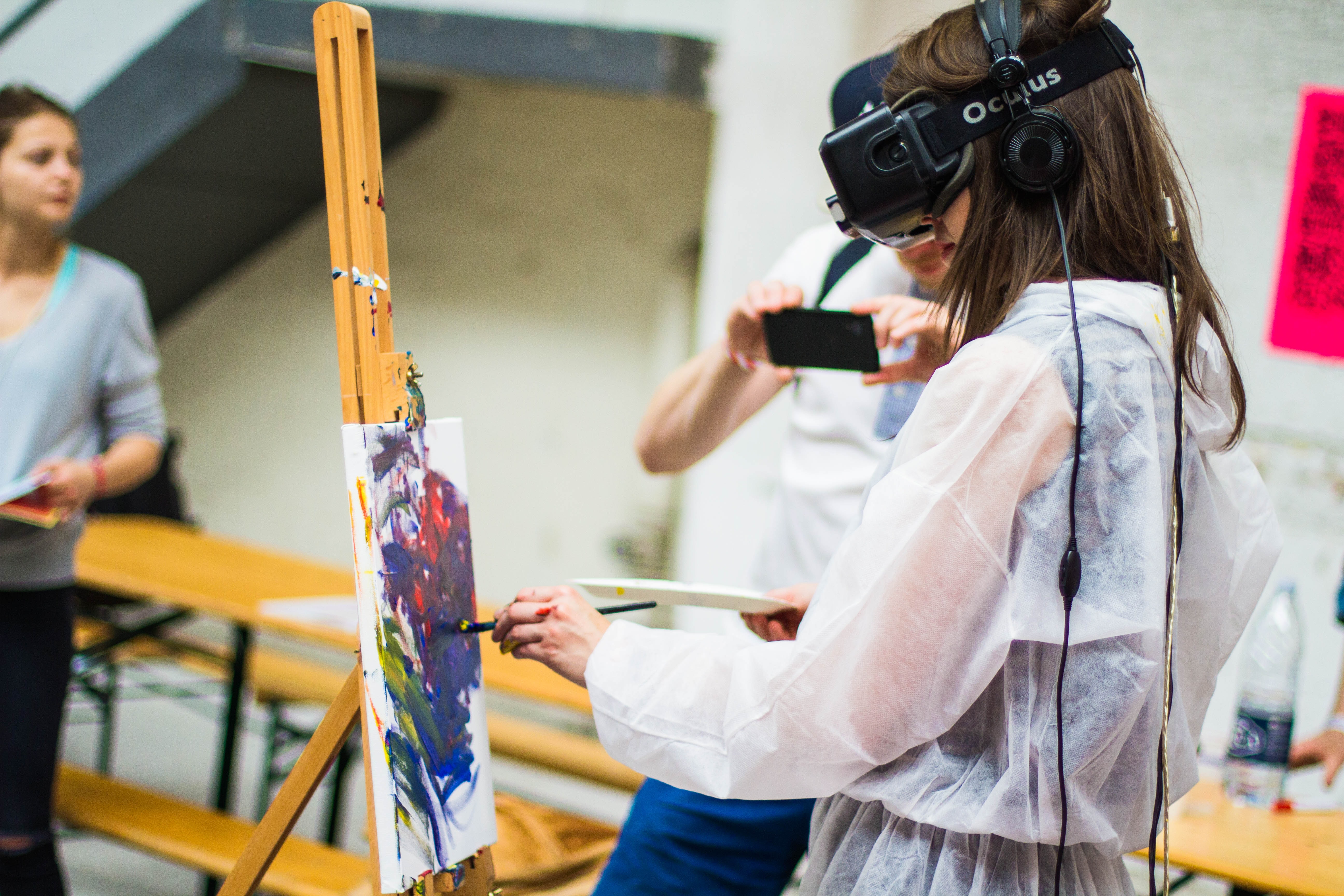
Mixed Reality


This instruction unit is designed for one of the 9th-grade geography classes at a K-12 Elementary School in the city of Puebla near Mexico City. The school’s location is prone to heavy flooding during hurricanes and earthquakes. In partnership with the County, elementary students learn about the earth’s core, explore the various layers and tectonic plates, and how they cause earthquakes in their neighborhoods in an experiential environment. The 9th-grade class has 14 students - seven females and seven males, each with iPad tablets. This class is diverse. 40.1% of this class belongs to the upper class and 38.9 to the middle class, and 21% to the lower class. 55.3% of students are Hispanic/Latino, and 44.7% are people of color.

o Expressive and Normative Needs With each earthquake and tectonic shift event, teachers and administrators at the elementary public school observe students and their parents, citing and attributing the occurrence to the wrath of a supernatural being or an evil spirit. Given the community's highly religious and superstitious nature, such conclusions were not surprising. After a short survey, over 80% of 9th graders and their parents attributed earthquakes to the supernatural; as such, teachers were tasked to teach students about the earth’s formation and help clear up the misconception.

TThe purpose of this lesson unit is to introduce students to introduce 9th graders to the earth’s core, its layers, and how tectonic plates cause earthquakes. Using MR allows students to manipulate, interact and slice the virtual earth to reveal various layers
At the end of this lesson, learners will:
To achieve this lesson’s objective, students need to understand the following::
How will the learning of this content be facilitated?
Introduction: The lesson will begin with the “Earth As An Onion” demonstration in MR. Showing students the onion and asking them to identify the vegetable. Students will answer questions about the onion [size, taste, consistency]. I will pull the leaves off the onion, showing how there are layers to the onion, just like there are layers to the Earth.
Interaction: Next, the “Layers of the Earth” virtual image will be displayed, and with the HoloLens, students will begin interacting with it. I will review and explain the layers and the name of each layer while pealing each layer from the crust to the inner core.
Activity: Next, I will hand out the worksheet “What’s Inside the Earth?” information packet. I will read and discuss each fact sheet with the students. Have the students refer to their “Layers of the Earth” diagram when each layer is introduced with the HoloLens. I will allow for questions/student discussion after presenting each sheet. The worksheets should be presented in this order:
“Inner Core”
“Outer Core”
“Lower Mantle”
“Upper Mantle”
“Crust”
“Tectonic Plates”. The vocabulary and additional information below will be used when explaining each information sheet.
Vocabulary: Composition: the nature of something’s ingredients [Dictionary Definition] Magnetic Field: a region around a magnetic material or a moving electric charge within which the force of magnetism acts. [Dictionary Definition]
Inner Core: The inner core is deep within the Earth and under much pressure. The hottest part of the Earth. Metal located within the inner core stays solid due to extreme heat and pressure.
Outer Core: Flows around the center of the Earth. Creates the Earth’s magnetic fields.
Lower Mantle: Also, under much pressure, the metals stay solid (like the inner core).
Upper Mantle: The lower part of the upper mantle is hot, and the metals stay as a liquid, but the upper part is cooler, and the metals are more solid.
Crust: Where we live! Thinnest layer as compared to the other layers. Ranges in thickness from 5 km (ocean floor) to 70 km (continental crust/ where we live)
Tectonic Plates Move slowly, about an inch per year.
The delivery format of this lesson will be face-to-face in the classroom using Hololens Devices.
A combination of lectures, group activities, and experiential learning will be used as teaching methods.
Students will be asked to engage in a five-minute free writing activity about the earth’s core. What do they know, what have they heard, what are they unsure about, and what do they want to know? This activity aims to activate prior knowledge, explore my students’ questions, and know what they want to learn. After this activity, my students will work in groups to write a collaborative summary in which they combine their ideas.
After each part of the unit, each student will verbally share what they need further explanation for in addition to verbal check-ins throughout the lesson.
At the end of the lesson, students will take a quiz on every concept we cover
To evaluate the instructional impact of MR-based learning and 3D modeling, I will conduct qualitative research using semi-structured interviews to gauge our participants’ knowledge level.